
Bay View
Overview
Directions: High Trail, Maple City, MI 49664
Parking Lot: Gravel
Restroom: None
Water: None
Trail Length: 7.5 miles total in 2 loops.
Farm Loop: 2.4 mi
Ridge Loop: 4 mi.
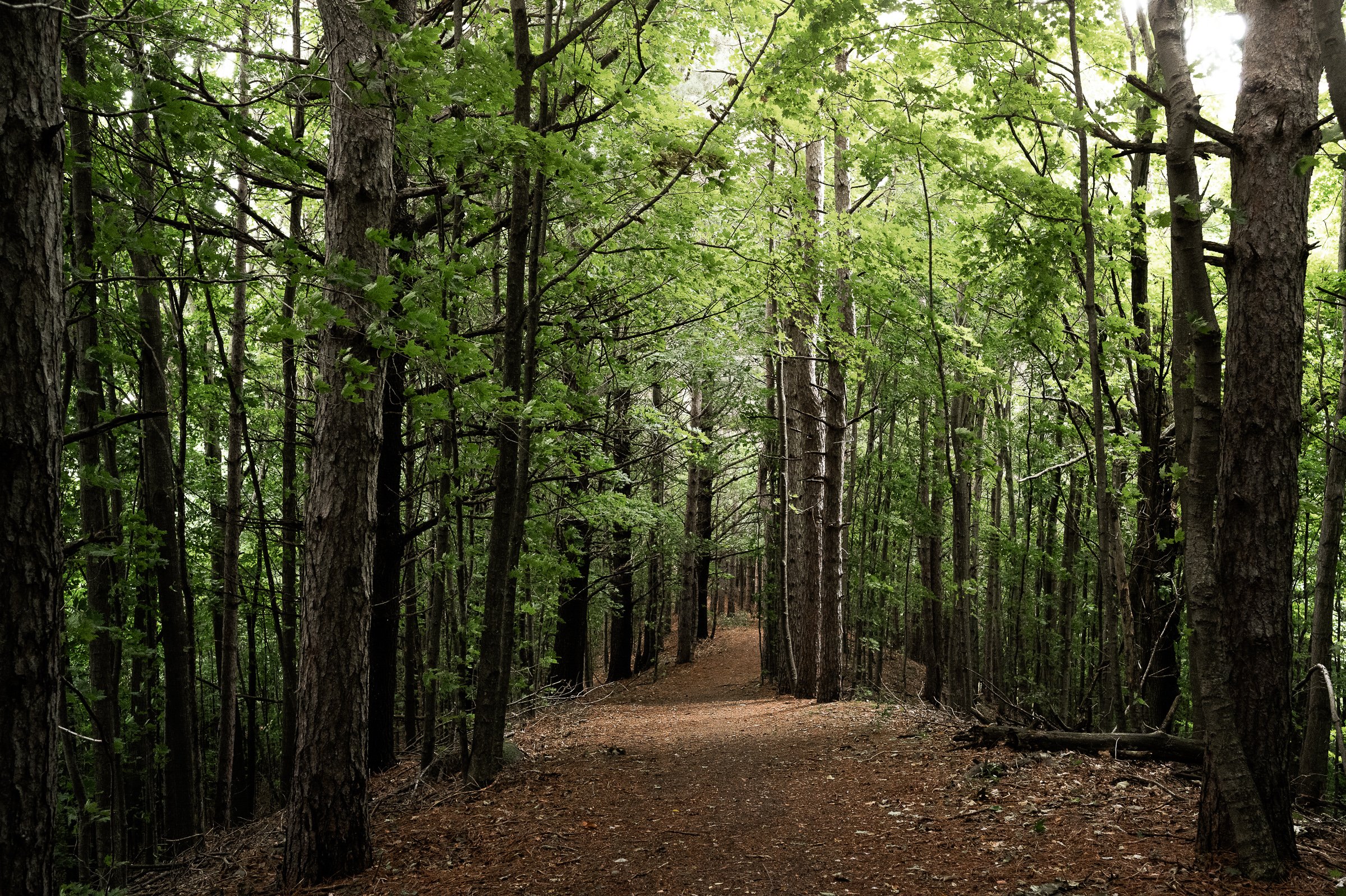
Terrain: Meadows, fields, edge of Beech-Maple forest, Farms of Port Oneida Rural Historic District.Mostly flat along meadows and fields and along the ridge. Steep hills on trail connectors between upper and lower segments.
Difficulty: Easy to Advanced
Trail Map
Click to Enlarge
More About the Trail
The lower Bay View Trail is now the Sleeping Bear Heritage Trail, and this portion of the trail is 10 feet wide crushed stone accessible trail. There are a few short segments that have a grade of more than 5%, but most of the trail is less than that.
The trail that leads to the High Bay View Trail is steep and relatively strenuous, but there is a great view of Sleeping Bear Point and the Manitou Islands. The Moosewood Trail Loop is packed earth and has some hills with grades over 5%.
The Farm Loop is a mowed grass trail that is somewhat uneven and has some hills with grade of greater than 5%.